Leading the way in professional land surveying services
No job is too big or too small. Whether it’s a complex commercial development, a home renovation, or a private garden suite,
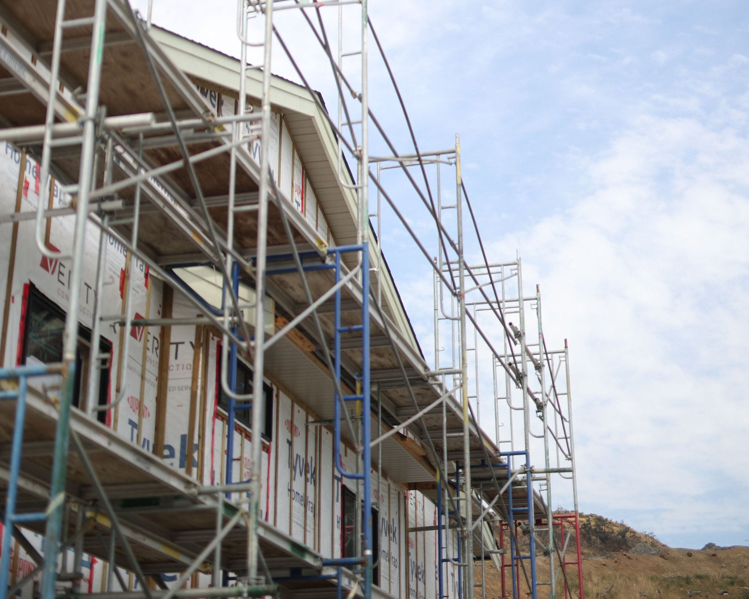
we bring our expertise and the highest level of professionalism to every project, utilizing cutting-edge technology such as robotic total stations and drones equipped with LIDAR and photogrammetry.
Subdivision

Anytime you alter the legal boundaries of a property, it’s called a subdivision. This can be to create more homes on a lot, consolidate two or more lots into one, or even to realign existing property lines. Our team of land surveyors will develop the subdivision plan you need to determine property boundaries and all the necessary information that affects land ownership. We work closely with approving authorities to establish a subdivision plan that successfully guides architects, engineers, and land developers in the completion of a subdivision.
Topographic Surveys

The success of any development starts with a clear understanding of what you’re working with. Our land surveyors are the first people on the ground to figure that out for you. We survey and prepare plans that portray information relating to a parcel, such as existing buildings, trees, driveways, and street frontages. Ground elevations are also measured throughout the parcel to give a topographic profile of what is happening on the ground. With this plan in hand, our clients, from architects to homeowners, are able to make effective design decisions with confidence.
Our toolbox includes robotic total stations, allowing for accurate and efficient measurements in the field. Additionally, our drone technology combines LIDAR and Photogrammetry, enabling us to efficiently and safely survey larger areas. By staying at the forefront of surveying technology, we ensure that our clients receive the most reliable and up-to-date information for their projects.
Property Lines

Whether you want to build a dream home, rework your landscaping, or add a garden suite, you want to know where your property legally ends and where your neighbour’s starts. Property lines are the legal boundaries of a property, but sometimes they’re not easy to figure out. Our land surveyors can help with planning a re-posting survey, also called a posting plan or reference plan, to determine property corners and reestablish property lines, which can be a complex and time-consuming task. Our aim is to provide accurate surveys and take into consideration our field records as well as existing land title office records. Staking property lines not only protects the value of the property but also maximizes the use of the land owned.
Strata Plans

Every condominium development project is unique. From townhouses and duplexes to high-rise condos, from fully residential properties to an urban mix of shops and homes, each one requires its own unique strata plan. Developers turn to experienced land surveyors to provide the detailed strata plan they require under BC’s Strata Property Act. V.I. Powell & Associates has been providing services for all sizes of condominium developments and strata plans for some of the most complex developments throughout Victoria and southern Vancouver Island.
Airspace

The legal boundaries and dimensions of a surveyed parcel of land can extend above and below the surface. In the case of high-rise developments, airspace surveys and plans are important to determine how the land is vertically subdivided and how separate lots are created within the development. Typically, an airspace subdivision plan is commissioned for mixed-use development to delineate commercial from residential airspace parcels and titles. As the urban landscape of Greater Victoria continues to transform, V.I. Powell & Associates ensures we provide accurate and reliable airspace surveys and plans required by each Municipality.
Construction Layout
A construction survey stakes out precise points to guide the building of new structures, like a high-rise apartment in downtown Victoria, a vacation home in Sooke, or a new road in Langford. We go into action once the design is completed, the architectural plans are approved by the Municipality, and the developer is ready with their IFC drawings. Precision and accuracy are critically important through all stages of construction: the survey serves as the basis for accurate construction and keeps a project on track; it defines the location of project features during construction; it documents the finished project post-construction. We make it our responsibility to own and expertly operate modern field equipment and software with the established quality control protocols to ensure our construction surveys provide the precision needed by the developer for each specific project.